CROWE LAKE
AN 1884 DESCRIPTION OF CROWE LAKE BY CORA BLEECKER
Click on our photos to open new pages
I had my first look at Crowe Lake on Easter Sunday in the year 1884. I saw it from one of the highest points around its shores - the high hills back of the ore pits at Blairton. I went there with Mark Devlin, the son of the lady with whom I boarded and his object was to see if the ice was moving at the head of the lake or in or around the bay at Blairton.
(Janet Harper Long wrote: Mark Devlin was my great grandmother's cousin. He was actually a Gladney also.)
He was employed by Carscallen and Gladney, a firm of Marmora merchants who were, at that time, renting the mills and other properties belonging to the Pearce Company. This included a lumbering enterprise in the woods immediately north of Marmora and they were anxious to begin sawing lumber at the mill in Marmora as soon as logs could be brought down the lake from where they were lying on the banks of the rivers and smaller streams above the lake and along the Crowe River and Beaver Creek. So Mark was on a trip of inspection. But the lake was still ice locked, firm and strong, - and across the bay, a place they called McLaughlins.
Click photo for Crowe Lake Poetry
Should you land at Blairton, you would find a church, a school, a store and post office, and two streets of frame houses - one where the store was located, the other crossing it and running towards the lake. Most of these homes had boarded windows and locked doors and were already showing the signs of disuse. As the years went on, we would hear of one or other of them being sold or moved away, but for a long time they furnished homes for men who were away in the woods or working on the river. Their families had cheap quarters.
In 1886, when I first camped at the Lake, there was not a building on any of these shores with the exception of the farm homes and others I have mentioned. Four Marmora families, or parts of these families - Bowens, Carscallens, Gladneys , Charl, my sister Addie and myself made up the party that camped for two weeks in two large tents which had been used by the river drivers. We used shanty blankets, dishes and cooking utensils, but had our own boats, canoes etc.
From our vantage point we could see through, the leafless trees, most of the islands lying dead and lifeless, the outline of bays, points, inlets and, away in the distance, the wind-swept faces of Marble Rock. I have seen it since, many times, from the same point, but never again when everything was still and dead in the ice.
In years following, I grew to know it well and knew intimately, the point that could be rounded safely in deep water as well as those that must be given lots of curve for fear of rocks or shoals. I knew where one could take a short cut to a given point, such as the "Snye" above Coopers, or where such risks were foolish.
In the early years, there were very few people living around the shores on the south. Below Foster's Island was a family called McFaul, two families of Bonters and two families of McGraths. On the north shore lived the Revoys and much further on were the Coopers. (see “Apples” below) From Ore-bed Bay, one could see the houses of Blairton, (and) the Aunger home down by the shore.
Prouts was another Marmora family who rented a lot on the lake shore. The farm fields, which are now cleared and worked, were cleared before that time and have been productive for much more than sixty years.
There was always a pile of logs, used for booms for the drives, lying on the lowland where Casha Boyd later built a house, and another big pile on the north shore near the lowland where a small creek comes in. These laid there from one year's drive to another. They were grand places for children to play.
It was many years before the Dance Pavilion was built on the beach and many more before there was any restriction on using the place as a public bathing beach. Sundays and holidays saw hundreds of people there. When Mr. & Mrs. Diamond bought the property from Mrs. H. Conner, into whose possession it had come through financials deals with Mr. A. Neal, this free access to the Beach was strictly prohibited and people missed it very much, though they had to acknowledge he had a perfect right to keep it for his guests.
Mr. Gordon McWilliams did not hold his lot for very long, as some time in the 90's we rented that and paid our $10.00 per year for the two. Much later John Halliwell urged Charl to give it up so he could have a place of his own. Charl did so and sold him our boat house that stood on the lot, though he many times regretted that he had been so persuaded.
After the farm changed hands, going to the Carscallen Estate or to Jas Parker, I was never sure who really owned it, as it was always farmed by a tenant. Lot holders were allowed to buy their lots, those of ordinary size going for $100.00 each. We had really paid much more than this in yearly rental but were glad to have a Deed to the land.
Places had changed hands many times. Frank Morse bought part of Dunlays, who had bought from a Stirling renter. Grasses sold to Connors, Prouts and to Hughes and changes took place all along the line, with new buildings, new people.
On the north shore, at the apple trees (See “Apples” below), there was no cottage for many years, excepting the shore property of Dr. McMullen of Frankford, and Walter Revoy on the hill. One could start a day's fishing, pull slowly down to the foot of the lake, catch a bucket of minnows, the troll, or still fish all day long with only a bare possibility of seeing another boat or meeting another fisherman in the whole long day.
Blairton Bay and the river above the bay was for many years filled with stumps or up-ended logs that had been in the same position for years. Some long timbers were barley a foot or two above water, still bore the deep stamped diamond with a capital "G" deep in the wood, showing it was one of Gilmours, or an "R" for Rathbun. These were nearly all removed in the 20's or sometime before that. Someone must have thought them worth salvaging.
In the late 90's a small excursion steamer was built by Mr. Prout and George Bleecker, and a good sized stationary dock at Blairton made that a favourite spot for picnics. The steamer was registered with Lloyds and it was quite legal for the owners to charge for carrying passengers. There were no camps on the islands; no one had ever lived there except possibly some travelling Indians. There was a story that a "squaw" was buried on Ann's Island and that it got its name from her. That is the larger island next (to) little Stoney.
Stoney Island 1936
Foster's was a bare rock pile liberally covered with poison Ivy and the mainland south of Foster's had been partially cleared, at least the large trees were gone and the brush was grown up thickly with raspberry bushes. The long black berries, for which the lake was noted, kept to the hilly land on the north shore, and were very plentiful.
Click on the photos to open the pages.
NORTH SHORE AND BLAIRTON BAY
MARBLE POINT
BOOSTER PARK AND HIGH SHORE
GLEN ALLAN AND PEEPY HORN ROAD
BOATING ON CROWE LAKE
CROWE LAKE WATERWAYS ASSOCIATION
CROWE LAKE FISH TAILS
Click on the picture!
The few breaks in the shore line were made by the cattle belonging to the nearby farmers showing where they came down to drink in dry seasons. Everything around was so still and peaceful that the impression has never left me. There was not a cottage nor a fence along the original camp ground. We had our tents near the Cove at McGraths, where we could get water from their well. Everything was just camp style for all of us - open fires, beds on the ground, meals 'al fresco'.
I suppose parties may have camped on that shore or on some othershore, but there was no building erected unto the next year, 1887, when Carscallen and Gladney used some of the products of their lumber mill to put up a big frame house, the first part built on the Judge Parker place, large enough to house all the party of 1886. We all put in a very happy summer together.
By the next year, people of Marmora and many from Stirling appeared to become camp conscious and the grounds were measured and divided into lots and these were rented for five dollars a season, as the owner would not consider selling them. Mr. McGrath sold the farm to Jas McNeil and it was for years farmed by tenants.
The lot next to our old campground, where the house stood, went to Dr. Jones. Charles selected the next one and Gordon McWilliams, the one next to it. Then came the Stirling people, Boldricks, Parkers, Meiklejohns, Chards. Grasses (were from) Belleville, Grays from Stirling, a camp of Toronto men, then Reg Pearce with the Bowens. These were the original lot renters and we walked across their lots on our daily trips to the sand beach, where we all went to bathe. I have left out Gladneys and Greens, who were amongst the first.
We were not at the lake very long in '88 or '89 - just spent a couple of weeks in tents and did not build even a kitchen until 1890, when Roy was a year old. For the next year, we had the old wigwam with an outside kitchen and cupboards, and a framed tent for a dining room. Some people were building cottages along the line.
The high shore nearest to Foster's (I should now call it Chas Parker's Island) has been surveyed, divided into lots and many of these are now sold. Some have cottages on them and the grove is a very beautiful part of the shore line.
The mill at Bonter's, built for the sawing and finishing of Lithographic Stone, was, for a few years, a very busy place. I never knew why it was closed down, later torn down, and now, I think all signs of it have vanished save and except the pit where they first dug stone, now full of water.
THE COOPERS AND THE APPLE ORCHARD
In her 1884 description above, Cora Bleecker makes reference to the Cooper apple orchard, shown below, now the site of Glenn Allen Park. A Cooper descendant, has provided us with some more apple photos featuring Norman Cooper. The Coopers are a very large Marmora family, intricately intertwined with Revoys, Daytons, Grays, Empeys For references to families, CLICK HERE
Crowe Lake, Harold Parker, Bob Parker, nephew of Pearces
THRILLING RESCUE
Marmora Herald - Aug. 27, 1925
Miss Dorothy Keys and Miss Mills, both of Malone who are camping at Crowe Lake made a thrilling rescue when the canoe in which Dr. and Mrs. Logan, of Cambridge, Penn., capsized throwing them both in the lake. Hearing their cries for help the girls paddled out and with great presence of mind succeeded in getting Mrs. Logan to cling to the end of their canoe. After they reached the shore with Mrs. Logan they returned for the Doctor. Their actions of bravery was doubtless the saving of two lives.
Russell's corner was locaated at #7 Highway and the Blairton Road
LINK WITH PAST UNCOVERED IN CROWE LAKE
Marmora Herald September 10, 1975
A link with Marmora's past came to light this summer with the location and recovery of two large very old anchors from Crowe Lake by a young Toronto man. Paul Allerillies spotted the two anchors while scuba diving and with the help of friends in four boats, raised them from the bottom. They have been painted and are now on display in front of his parents' trailer-campsite at Bayview Park on the west shore of Crowe Lake. The first anchor recovered is believed to weigh in the neighborhood of 300 pounds and was found in 30 feet of water. The second one is smaller, running about 200 pounds and was lodged in rock when Mr. AlleHeries spotted it. It is believed the anchors may be anywhere from 50 to 100 years old. Logging was one of the principal industries of the Marmora area at that time and it is quite possible the anchors were lost as the log booms were moved along the channel of the lake enroute to Pearce's sawmill below the present Marmora dam. Log drives were also made on Beaver Creek, the last one being carried out in the spring of 1920. Mr. Allerillies was not available on the weekend to give further information but Otto Lingertat, owner of the Bayview Tent and Trailer Park, showed a photographer and reporter to the location of the anchors.
The large anchor now resting on the floor of the Marmora Historical Foundation (pictured above) was found in Crowe Lake by Derek Meridith and recovered by Derek Jr. Too big for a regular boat, we suspect it is from a log boom, or one of the iron ore barges that plied the waters in the 1800's........or, could it have been dropped by the "Ben Bolt" or the "Queen of the Seas" (See "What's in Crowe Lake")
In 1935, there was a thief operating at Crowe Lake with a peculiar bias for shoes. Quite a number of cottages were entered and ladies' shoe taken. A skeleton key, or some other contrivance, was used to open the doors and in the majority of case nothing was disturbed except the shoes. In a number of cases the shoes were returned in as mysterious a manner as they were taken, but showing considerable wear.
In 1938
Marmora band on Bata Island 1939, Jack Grant 3rd from Right
PROMOTION OF CROWE LAKE BY THE MARMORA CHAMBER OF COMMERCE Founded c.1948
Highlands of Hastings Brochure 1950
Highlands of Hastings Brochure 1953
Marmora Herald August 4, 1949
Marmora Council had a test made of the water in Crowe Lake recently by the Government Laboratories and it is gratifying to know that the analysis has shown it to be in Class "A". That is the highest test obtainable and means the water can be used for any purpose. When so many places are troubled just now with contaminated water it is a great satisfaction to summer visitors especially those with children, to know the water in the lake is pure. The well at Booster Park was also tested and found to be in Class" A".
Helena Tomska, American & Canadian swimming champ, visited Crowe Lake
In 1938 Crowe Lake was host to three Canadian swimming champions who gave a brief exhibition of their talents. They were Miss Thelma Bougnner of the Toronto Dalphinets and Canadian and Michigan Diving champion; Miss Halena Tomska of the Detroit Athletic Club, holder of 6 American records and Canadian champion of 100 yards free style and back stroke; and Gordon Kerr, champion back stroker and holder 10 Canadian records. Mrs. Kerr was the niece of Mrs. Cora Bleecker.
Sea Flea purchased for $95.00 by Pat McCrodan from Glen Caverly. But when Pat's mother found out, he was forced to return it, and Glen had no choice but to return the money.
V
Vic Provost - but what is he up to?
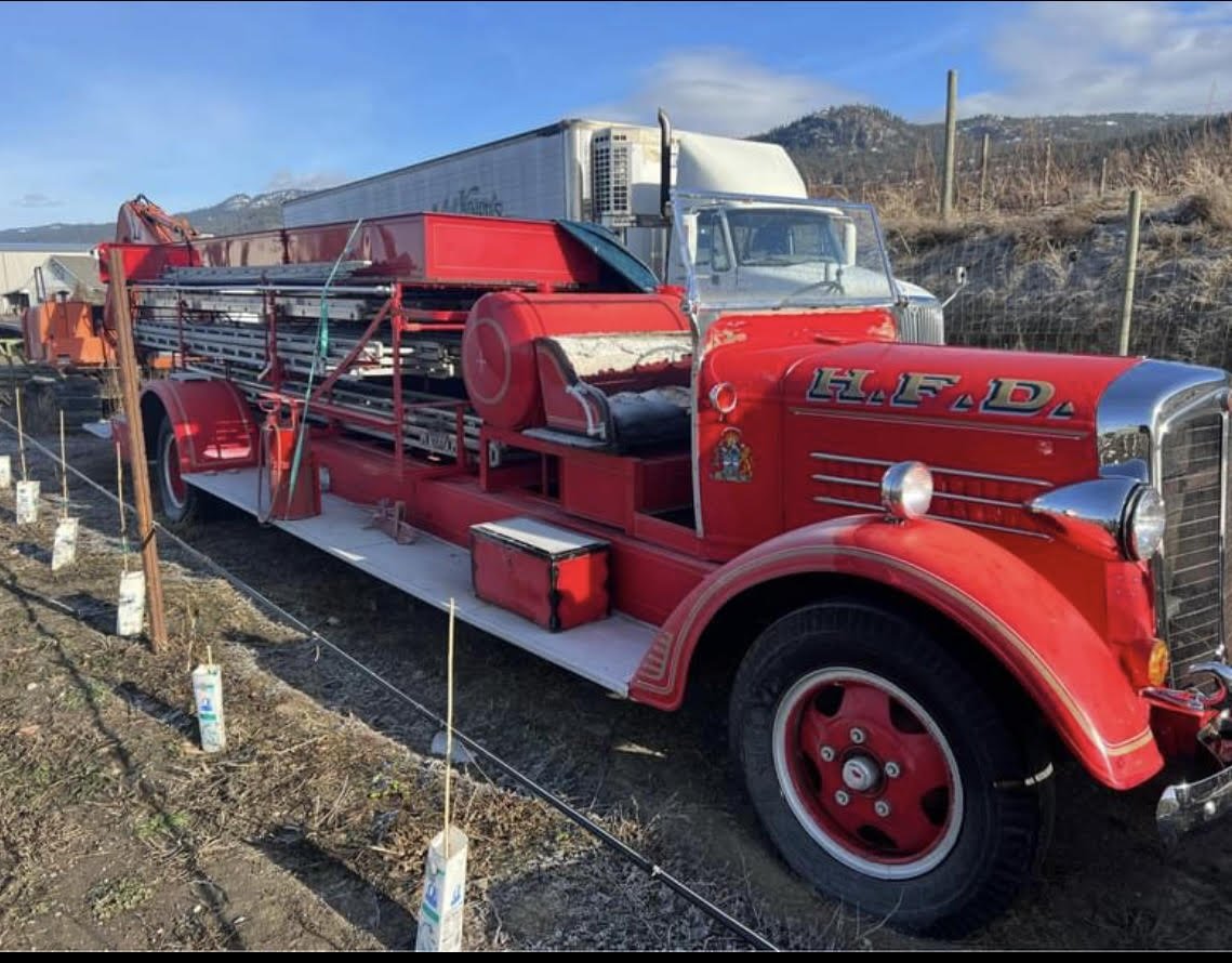
Aug. 2016 Ministry of Natural resources water bomber assists Marmora Fire Department


